
Where are Sanibel Island and Captiva Island?
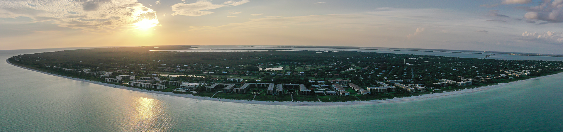
Sanibel Island & Captiva Island are located off the coast of southwest Florida, just west of Fort Myers, Florida. Fort Myers is situated between Naples, FL and Tampa, Fl.
The Fort Myers Airport, Southwest Florida International Airport (RSW airport code), is located approximately 20 miles away from Sanibel Island.
For directions from other locations click HERE.
Visit the Sanibel-Captiva Chamber of Commerce – The Official Travel Resource
Make the Sanibel and Captiva Islands Chamber of Commerce Visitor Center your first stop. You’ll find us in a colorful island-style building on your right-hand side immediately after you drive onto the island on Causeway Boulevard. Open 365 days a year, our staff is here to answer all of your questions and make you feel at home.
We have information on:
- Accommodations
- Condominium Vacation Rentals
- Daily Availability List
- Restaurants
- Shopping
- Attractions
- and much more.
For more information, call us at 239-472-1080.
Traveling Around Sanibel Island
Sanibel Island measures roughly 12 miles long and three miles across at its widest.
Sanibel Island has two main roads that parallel each other. Periwinkle Way, located at the four-way stop immediately past the Visitor Center, is the main thoroughfare. West of the causeway, it leads to the island’s shopping and dining district. Follow it east and you’ll pass a quieter commercial section, ending up at the Sanibel Lighthouse and its beach. Gulf Drive, the other main route, roves past resorts, beaches, and homes at the water’s edge. It is segmented into East, Middle, and West Gulf Drive.
Traveling Around Captiva Island
Periwinkle Way links, via Palm Ridge Road or Tarpon Bay Road, to Sanibel-Captiva Road, which continues on to Captiva Island. Known locally as “San-Cap,” the road passes by most of Sanibel’s natural attractions, including the the J.N. “Ding” Darling National Wildlife Refuge, the Sanibel-Captiva Conservation Foundation Center (SCCF), the Bailey-Matthews National Shell Museum, and the Clinic for Rehabilitation of Wildlife (C.R.O.W.) facility. Captiva Island is connected to Sanibel by San-Cap Road. Once you cross the short bridge at scenic Blind Pass, the road becomes Captiva Drive. Follow it north and you’ll find two public beach accesses, plus restaurants, shops and resorts.
Beach Parking on Sanibel Island & Captiva
Public parking lots have park-and-pay machines. The cost is $5 per hour, and each machine produces a receipt for you to put on your dash. The machines do not make change, but they accept $1, $5 and $10 bills, as well as Visa and MasterCard credit cards. Handicapped parking is free on Sanibel.
Roadside parking is not allowed, and some areas are restricted to those with permits. Permits are available to non-residents at a cost of $80 to $160. They are available at the Sanibel Recreation Center located at 3880 Sanibel-Captiva Road, Sanibel Island, FL.
Transportation on the Islands
There are several taxi companies servicing Sanibel and Captiva Islands.